

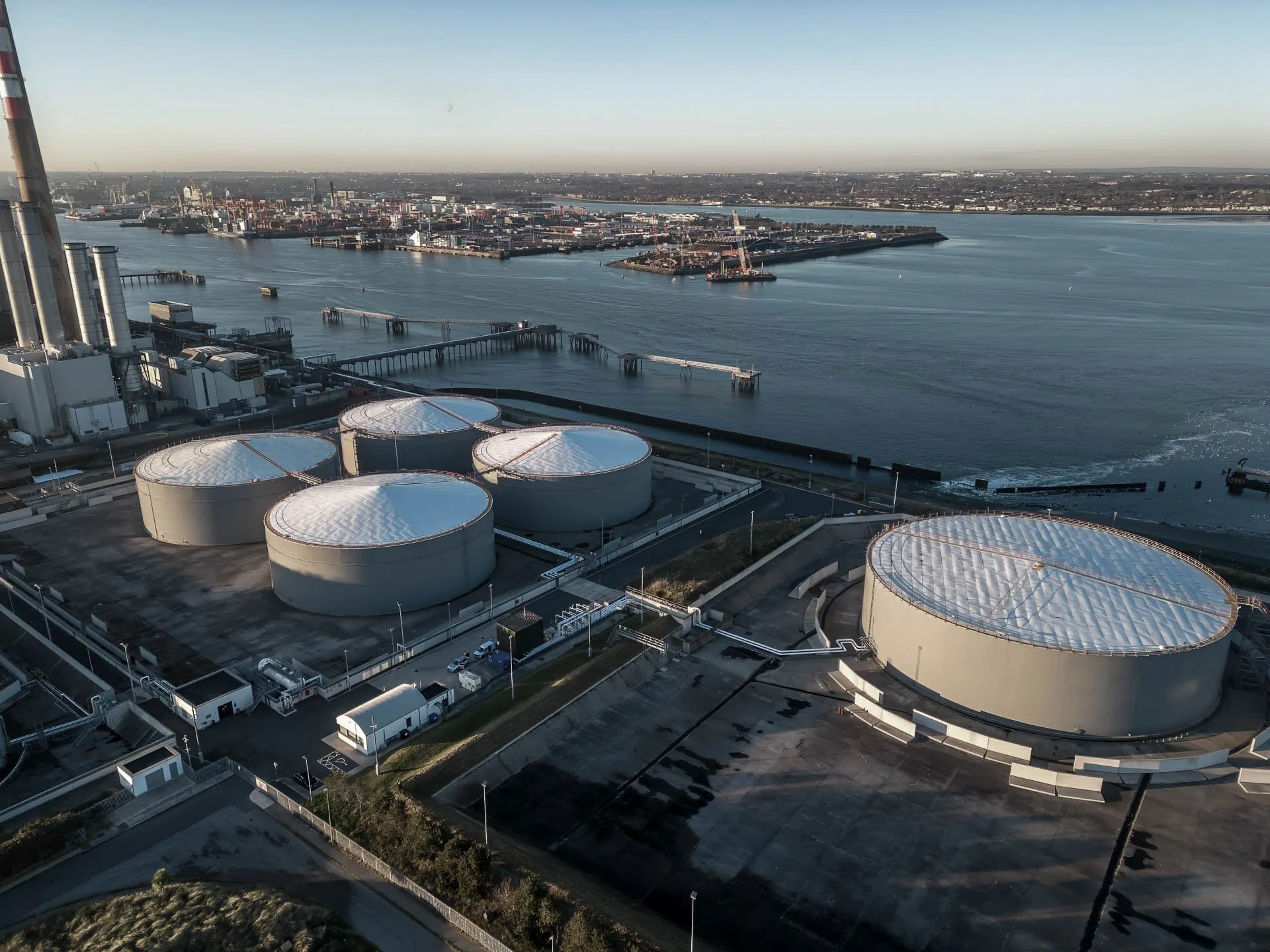
Industrial Visual Media & Aerial Solutions
Aerial, timelapse, thermal, survey and 3D capture for industrial, pharma and infrastructure projects across Ireland.
Visuals delivered for leading organisations across Ireland
Our Services
-
Consistent aerial records of your site, flown the same way every visit.
We fly pre-programmed waypoint missions that repeat the same flight path, height and camera angles on every visit, so each update compares like for like. Ideal for tracking progress against programme, reporting to stakeholders and keeping a clear visual record from groundworks to handover.
Deliverables: photo and video sets on a weekly, monthly or milestone schedule; side-by-side progress comparisons; an end-of-project summary film.
-
Your entire build, told in minutes.
Weatherproof site cameras capture your project from fixed positions for months or years. The result is a compelling record of the build for stakeholder updates, corporate communications and project close-out, with no disruption to work on site.
Deliverables: periodic progress edits; a final timelapse film; a full archive of high-resolution stills.
-
Accurate maps, models and measurements from the air.
Using RTK-enabled drones and GNSS ground control, we produce high-accuracy orthomosaics, elevation models and point clouds. It’s faster and safer than traditional methods on large or hazardous sites, and the data drops straight into your CAD and GIS workflows.
Deliverables: orthomosaic maps; digital surface and terrain models; point clouds; stockpile and earthworks volumes.
-
See heat loss, hot spots and faults that are invisible to the eye.
Drone-based radiometric thermal capture of roofs, building envelopes, solar arrays, pipework and process plant. We cover large or inaccessible areas quickly, without access equipment or shutdowns, giving your engineers clear thermal data to act on.
Deliverables: radiometric thermal images and video; matching visual imagery; geo-located capture records.
-
Photorealistic 3D models of your site, explorable in a web browser.
Using Gaussian splatting and photogrammetry, we turn aerial and ground imagery into lifelike 3D models that anyone can explore from any angle, with no specialist software needed. Ideal for design and planning, remote site walk-throughs, handover records and capturing existing conditions before works begin.
Deliverables: interactive 3D models viewable in any browser; shareable links for your team; 3D model files for designers and engineers.
-
Close-up visual inspection without scaffolding or shutdowns.
High-resolution aerial inspection of stacks, roofs, towers, structures and hard-to-reach assets. We capture close detail safely and quickly, reducing the need for access equipment, work at height and downtime, including on COMAH and high-hazard sites.
Deliverables: high-resolution stills and video; condition records of each asset; repeatable flights for ongoing condition monitoring.
-
Training, safety and corporate films, produced on site.
From safety procedures and training content to project films and corporate communications, we combine ground video, aerial footage and timelapse into polished productions. We’re experienced in working within controlled and high-security environments.
Deliverables: edited films; short cuts for social media and internal channels; a raw footage archive.
Project Highlights
Magnifly delivers aerial, ground and timelapse media for industrial, pharmaceutical and energy projects across Ireland. Much of our work takes place on confidential, high-security sites, so the examples below are representative of the projects we deliver and the value our visuals provide.
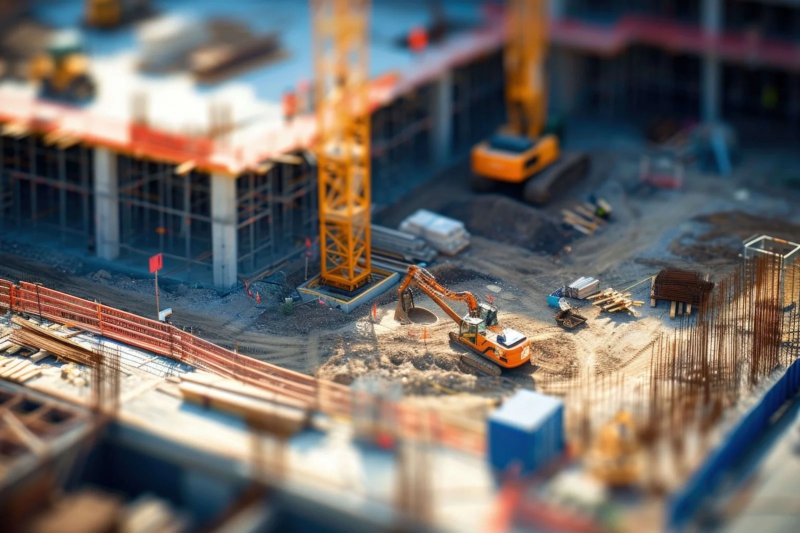
Long-Term Construction Timelapse
-
Installation of multiple solar-powered timelapse cameras to document the build of a new production facility on a pharmaceutical site. Each unit was configured for remote monitoring, allowing authorised teams to view live progress throughout the build.
-
The system provided clear visibility for project managers, contractors, and EHS teams, reducing the need for site visits and improving communication across departments. The footage also supported milestone reporting and final project documentation.
Technical Drone Imaging
-
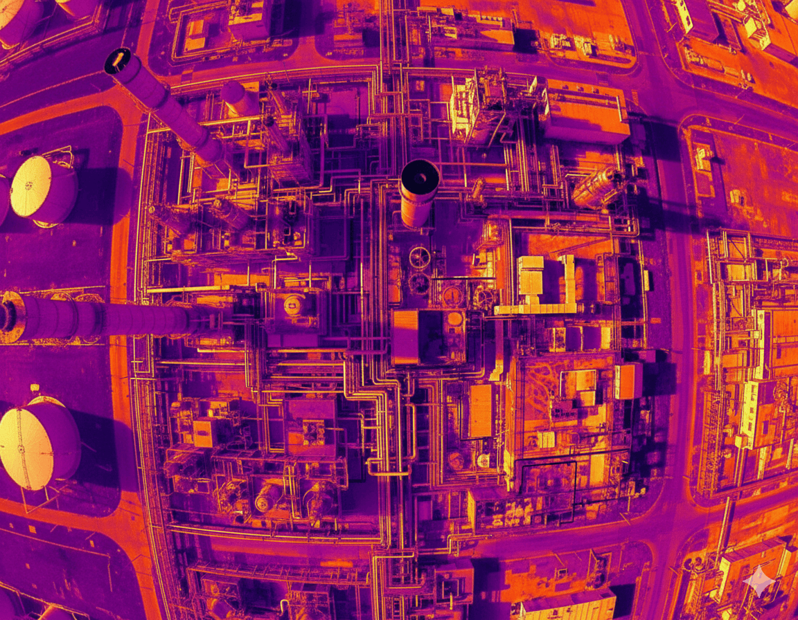
Thermal and visual drone survey completed at a pharmaceutical manufacturing facility to identify temperature anomalies and assess insulation performance ahead of a scheduled inspection. The survey was carried out in coordination with on-site EHS teams under full EASA compliance.
-
The survey revealed several temperature anomalies within the piperack, indicating potential damage to insulation and minor leaks that required immediate attention. These findings allowed the client to address the issues before the scheduled inspection, preventing potential non-conformances and supporting ongoing site reliability and safety.
Project Completion Media
-
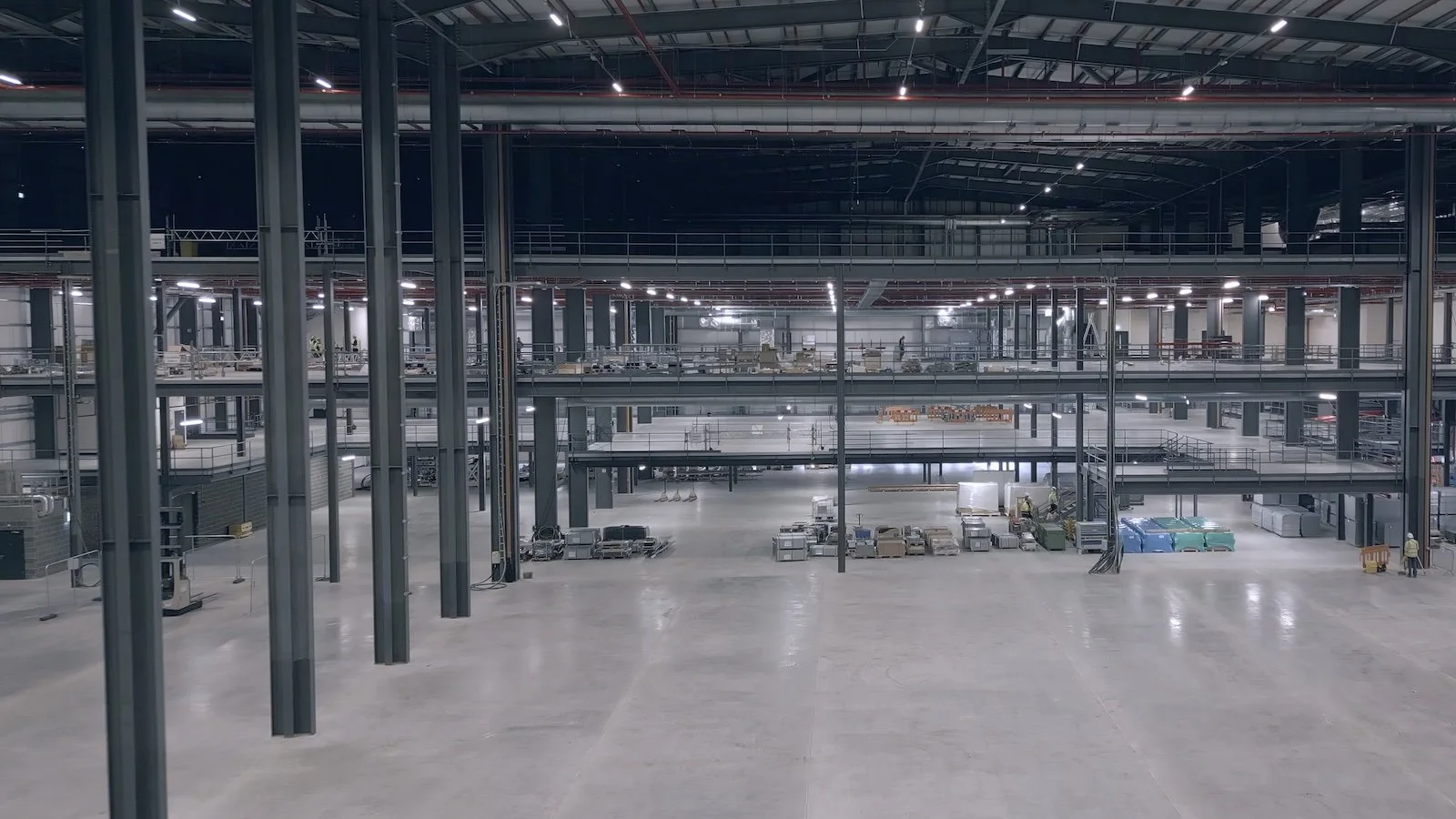
A complete visual package documenting the completion of a large-scale facility project. Filming combined external and internal drone footage with ground-based media and interviews featuring project leads and EHS representatives, capturing key stages including final installations, commissioning, and handover.
-
The final video was used for internal presentations, stakeholder updates, and marketing communications, showcasing the successful delivery of the project and the quality of work achieved through collaboration across multiple disciplines.
Who we work with
Industrial, pharma, energy and public sector teams that need reliable visual data and site-safe delivery.
-
Magnifly has completed work across all upper and lower tier COMAH sites in the south west and multiple sites in the south east. Our experience centres on emergency response training tools, creating video and 360° photo tours that identify major accident scenarios and support site teams in preparedness and awareness.
-
We partner with leading pharmaceutical and bioprocess companies to capture site progress, safety procedures and training content. Our work supports teams in operations, engineering and EHS, providing visual material for both internal learning and corporate communications.
-
From wind and solar farms to power utilities and piperacks, Magnifly delivers aerial inspections, thermal surveys and progress documentation. Our imagery helps maintenance and project teams track condition, performance and safety across large-scale assets.
-
We support engineering and construction teams with time-lapse, drone and ground video to monitor progress, showcase milestones and document handovers. Our visuals are often used in project updates, presentations and wrap-up videos for corporate teams and stakeholders.
-
Magnifly has worked with councils to record street surveys and capture new infrastructure such as greenways, park upgrades and cycleways. Our imagery helps teams showcase completed works, communicate progress to the public and archive key civic projects.
-
Magnifly provides visual support for property managers and corporate facilities teams. Our drone and time-lapse imagery helps track works, record improvements and showcase investment in modern, efficient workspaces.
About Magnifly
Founded in 2017 and based in Cork, Magnifly works with industrial, energy, and infrastructure clients across Ireland to deliver high quality aerial imaging, ground video, timelapse, and technical surveys that help teams plan, monitor, and showcase their projects with confidence.
Our focus is on reliability and site-safe delivery. Every project is approached with the same attention to detail, whether it involves capturing long-term construction progress, technical inspections, or visual content for stakeholder communication.
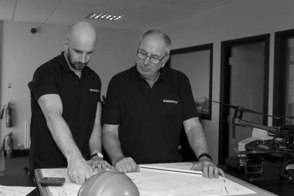
Led by Don Keogh, Magnifly combines advanced drone technology with a practical understanding of complex industrial environments. We work closely with clients to provide clear visual data and creative visuals that support decision making, compliance, and communication from start to finish.
Magnifly is an IAA registered operator with public liability insurance. We hold Safe Pass certification and provide risk assessments and method statements for every job, with careful planning and safe working practices at the centre of our approach.
How Can We Help
Every project is unique, and we’ll help you find the best way to capture it. From aerial imaging and timelapse to detailed technical visuals, we’ll guide you through what’s possible.
Based in Cork, working nationwide. We reply to every enquiry within one working day.